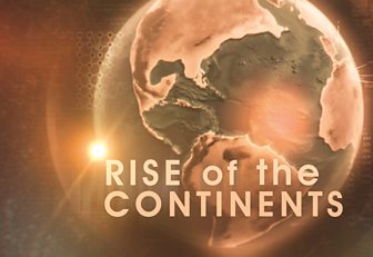
Visualising our moving planet
Our continents move very slowly at only 2.5 cm a year, but over millions of years their movement has been immense. Visualising the unimaginable movement of such large parts of the planet over hundreds of millions of years, was the challenge set to the graphics team at BDH Design.
The first stop was to understand and interpret the geological data. The production team at the �鶹�� approached Professor Christopher Scotese, a leading expert in paleogeology from the University of Texas and creator of the Paleomap Project. This virtual reconstruction is a thirty year undertaking which aims to map the changing distribution of land and sea. By combining data from various fields of earth science, he mapped the movement and formation of our continents over the last billion years.
With Professor Scotese acting as a scientific advisor to the programme, the graphics team were able to use the geological data relating to land and plate tectonics to build the graphics. By subsequently playing with colour, size and special lens effects, the team created bold CGI sequences that would help clearly explain how the Earth works.
In addition to graphically reconstructing the movement of the continents, we also wanted to produce super realistic Earth shots using satellite data to illustrate past landscapes. This enabled us to create enormous magmatic explosions, underwater volcanic rifts and twisting rock landscapes. All the images were then stylized to give the viewer the impression they were seeing the thoughts inside Professor Stewart's geologist mind.
As part of the storytelling process, graphic ‘flashback’ moments were designed to introduce bite sized information packages that built up as clues throughout the programme. The flashback moments were created using a combination of animating stills and typography with 3D CGI.
By combining active geological research and advanced graphic techniques we were able to bring this billion year old story alive.


