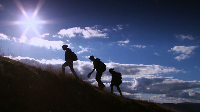
Understanding contour lines
Joe Crowley helps learners to understand contours. Joe explains that contour lines connect points of equal height and that each is marked on a map by a number denoting height above sea level in meters. The clip shows that if you cross contour lines you are going up or down a gradient, and the closer the lines, the steeper the gradient. Joe explains how to relate contour lines to actual physical geographical features like valleys and hills. Contour lines can be used for navigational purposes, which Joe demonstrates using an unusual section of landscape.
Duration:
This clip is from
More clips from Get Lost
-
![]()
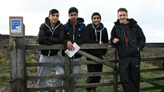
Navigational challenge - reading maps on the coast
Duration: 09:11
-
![]()
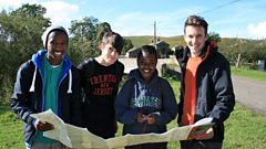
Navigational challenge - reading maps on the moors
Duration: 09:37
-
![]()
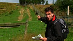
Navigational challenge - reading maps in the hills
Duration: 10:44
-
![]()
Rights of way
Duration: 02:27