A living map of the Earth's animals created in space
- Published
- comments

A living map of the Earth's animals is being created in space.
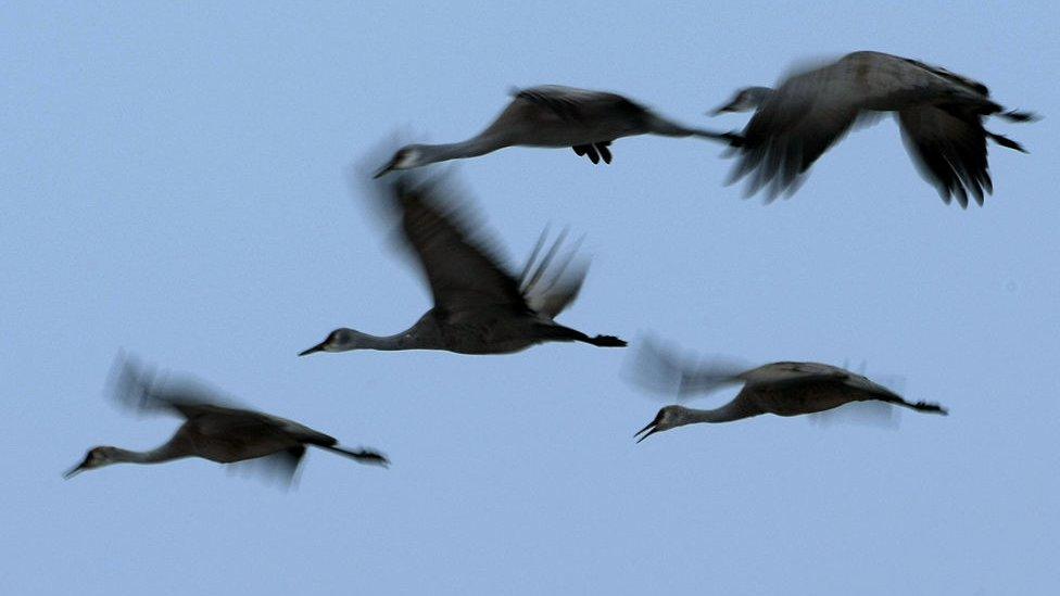
It's called the International Cooperation For Animal Research Using Space - or Icarus for short - and it's following the migration of animals in the sky, sea and on land.
In order to track the animals, scientists are using a powerful computer on the International Space Station.
The main aim of the project is to create a massive database of animal movement so researchers can see how ecosystems are changing in real-time and how animals are responding to those changes.
Each animal is fitted with a wearable GPS sensor which allows the scientists to track its movement through an antenna on the ISS.
Since late 2021, the new technology has captured the movements of hundreds of small animals, such as blackbirds, Arctic terns, and even bats.
In total, 15 different species have been tracked by the scientists at the Max Planck Society in Germany.
The researchers are hoping to expand this to 100,000 animals from 500 different species but the sensors don't come cheap, at $300 (拢228) each.
Biodiversity is the range of animals, plants and microorganisms in a given area. It is the foundation that supports all life and each member plays an important role. If the numbers of one species are affected, there are almost always knock-on consequences to other living things in the ecosystem.
It's hoped that by tracking the movements of lots of different animals, scientists will be able to see how their habitats are changing.
For example, if animals who usually live around a volcano start behaving weirdly, then scientists can use that data to predict when that volcano might erupt.
Also, it's hoped that researchers will be able to see if human behaviour is threatening biodiversity in an area because they'll be able to measure whether animal migration paths are being blocked.
- Published9 March 2022
- Published10 March 2022
- Published10 March 2022
